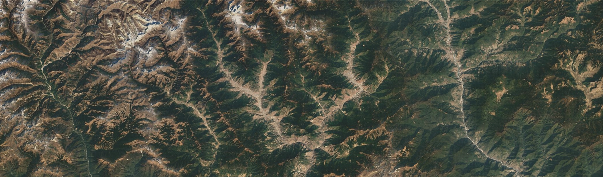
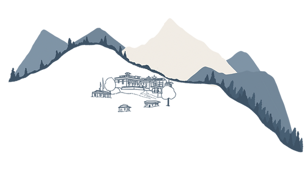
Map

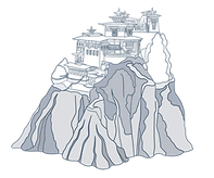
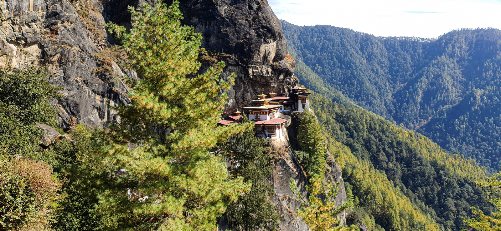
 TAKTSHANG
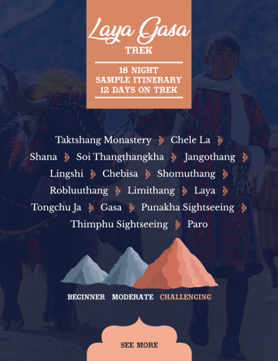
MONASTERY
 JELE
JELE DZONG
PHAJODING
JANGCHULAKHA
 JIMILANGTSO
SEMKOTHA
JIMILANGTSO
SEMKOTHA
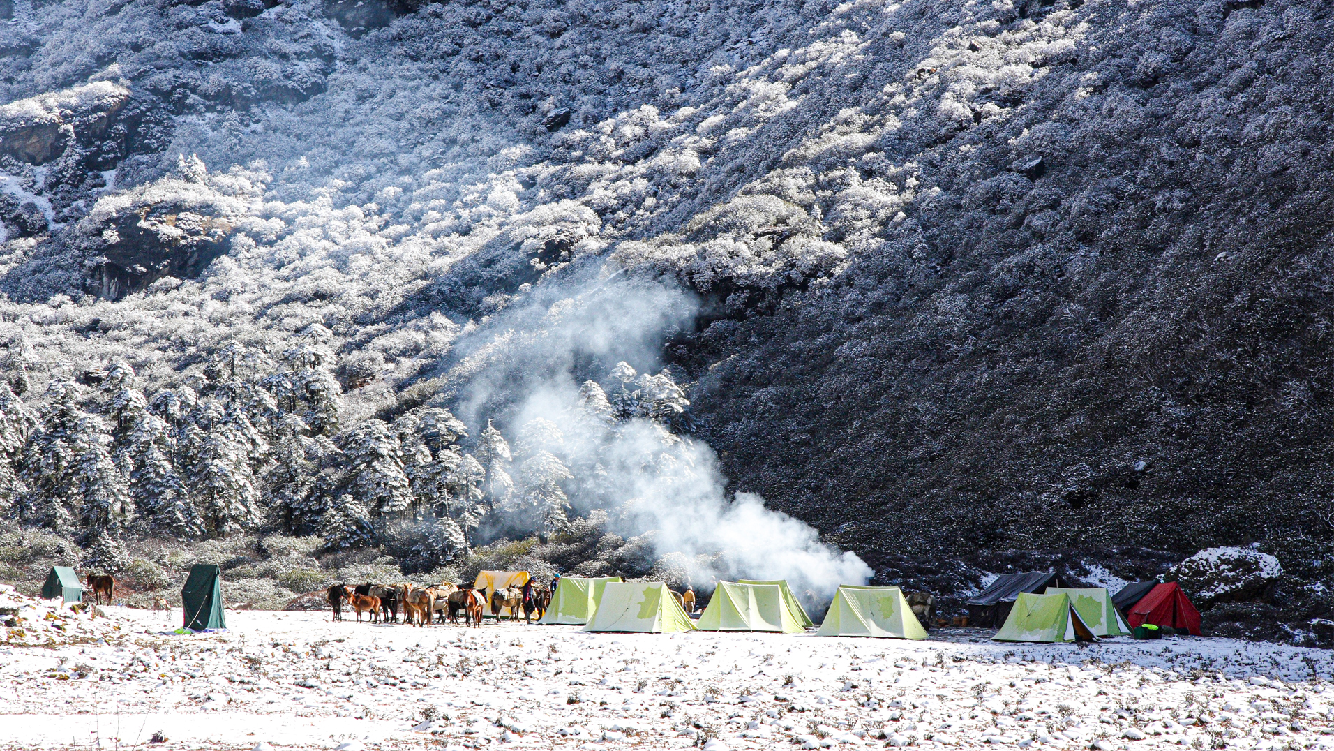
4 DAYS ON TREK
Map
TAKTSHANG
JELE
PHAJODING
JANGCHULAKHA
JIMILANGTSO
SEMKOTHA


TAKTSHANG
MONASTERY


JANGCHULAKHA
3760m


JELE DZONG
3560m


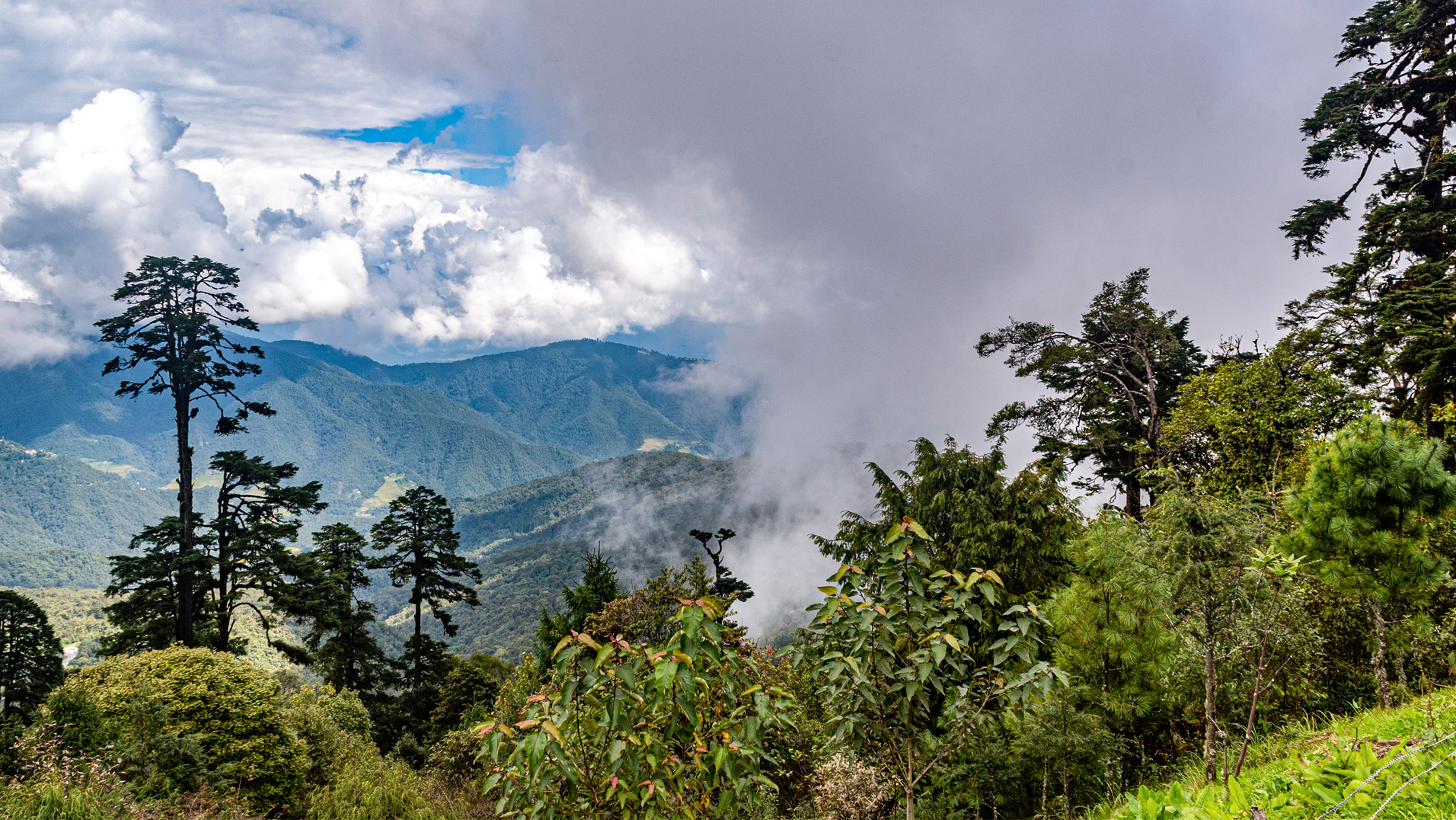
A clear day offers a bird’s eye view of Paro valley. Walk through thick alpine forests and rhododendron trees for around 3 hours until you reach Jele Dzong at 3560m. After visiting the ruined Dzong continue your climb for another 3 hours to reach the yak pasture at Jangchulakha which will be your campsite for the night. (Altitude 3760 m)

TREK TIME & DISTANCE : 6 hours, 18 km

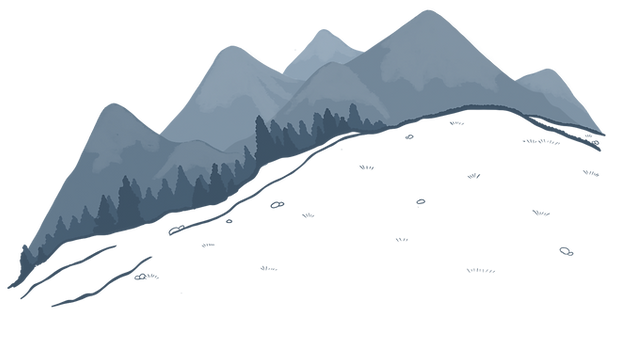

JIMILANGTSO
LAKE
3870m


Camp is near Jimilangtso Lake at about 3870 m.

JANETSHO
LAKE
SEMKOTHA LAKE
3834m


Camp by Semkotha Lake at an altitude of around 3834 m.
TREK TIME & DISTANCE : 4 hours, 11 km

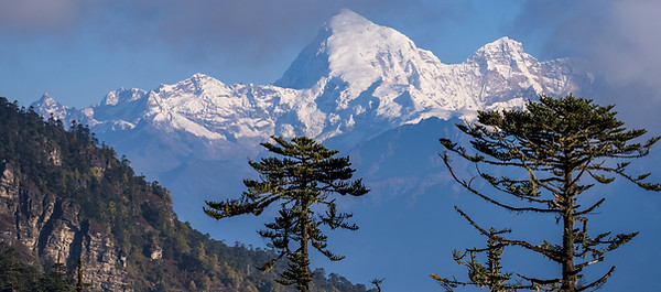
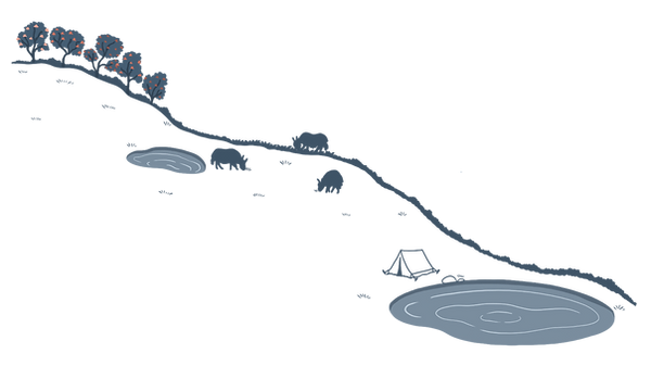
MOUNT
GANGKHAR
PUENSUM

PHAJODING
GOMPA
3536m

If weather permits there will be a beautiful view of Mount Gangkhar Puensum, Bhutan’s highest mountain, as well as of further peaks from the Doupchu La Pass. The path gradually descends to Phajoding Gompa (3536 m) where a monastery and retreat centres for meditation are located. From there you continue your final descent for a couple more hours through blue pine forest, emerging just above Thimphu town where you will be met by your driver and taken to your hotel.
TREK TIME & DISTANCE : 5-6 hours, 15 km


PRICING
You might also like ...


To that end, we take great care to hand-pick our guides and drivers for your trip and also support a variety of local organisations and charities in Bhutan. We are working towards a sustainability certification. Our aim is to create long-lasting happy memories for our guests, facilitate cultural understanding and support the livelihood of the local population.