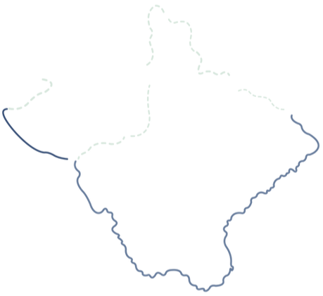
Map
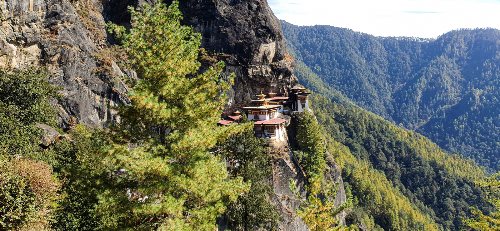
 TAKTSHANG
MONASTERY
 JELE
JELE
DZONG
PHAJODING
JANGCHULAKHA
 JIMILANGTSO
SEMKOTHA
JIMILANGTSO
SEMKOTHA
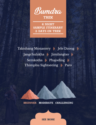
4 DAYS ON TREK
 Paro Taktshang
Jele Dzong
Jangchulakha
Jimilangtso
Semkotha
Phajoding
Thimphu
Paro
Paro Taktshang
Jele Dzong
Jangchulakha
Jimilangtso
Semkotha
Phajoding
Thimphu
Paro
Map
TAKTSHANG
JELE
PHAJODING
JANGCHULAKHA
JIMILANGTSO
SEMKOTHA





TAKTSHANG
MONASTERY





Trek Day 1:
Paro to jangchulakha via Jele Dzong
JANGCHULAKHA
3760m


JELE DZONG
3560m


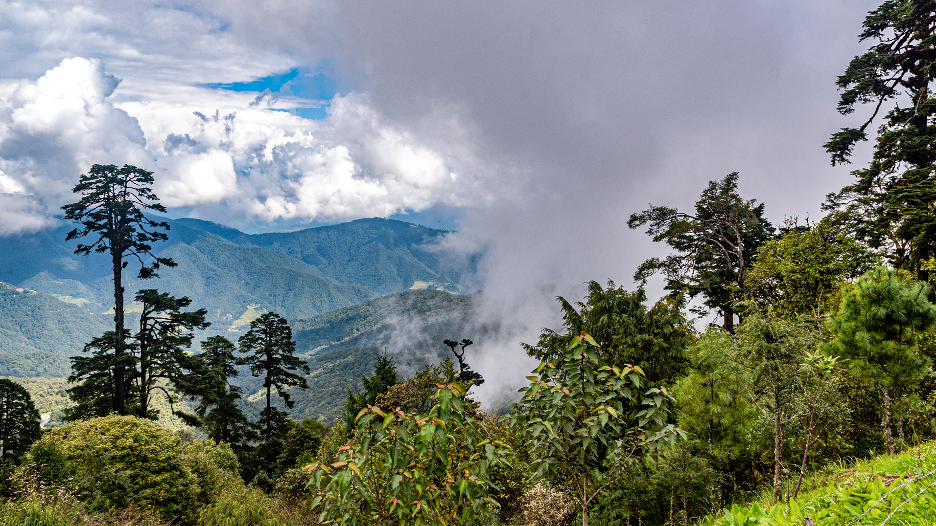
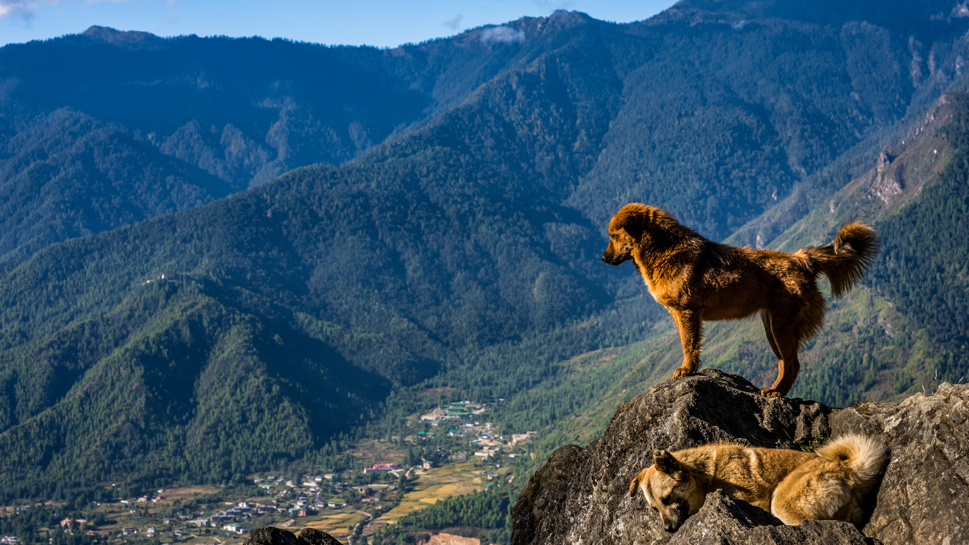
A clear day offers a bird’s eye view of Paro valley. Walk through thick alpine forests and rhododendron trees for around 3 hours until you reach Jele Dzong at 3560m. After visiting the ruined Dzong continue your climb for another 3 hours to reach the yak pasture at Jangchulakha which will be your campsite for the night. (Altitude 3760 m)

TREK TIME & DISTANCE : 6 hours, 18 km
Trek Day 2:
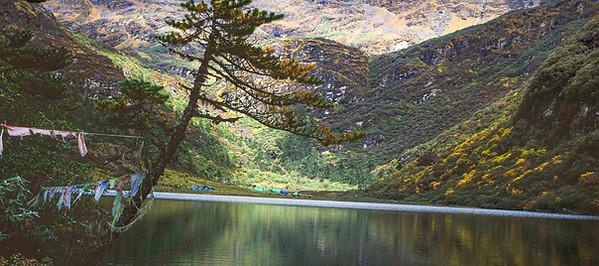
Jangchulakha to Jimilangtso

JIMILANGTSO
LAKE
3870m


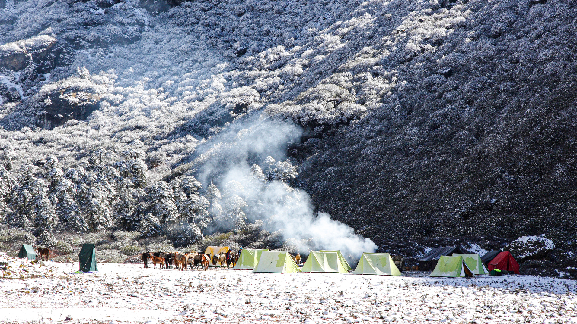
Camp is near Jimilangtso Lake at about 3870 m.
Trek Day 3:
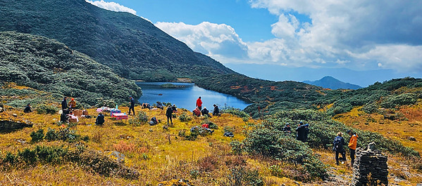
Jimilangtso to Semkotha
JANETSHO
LAKE
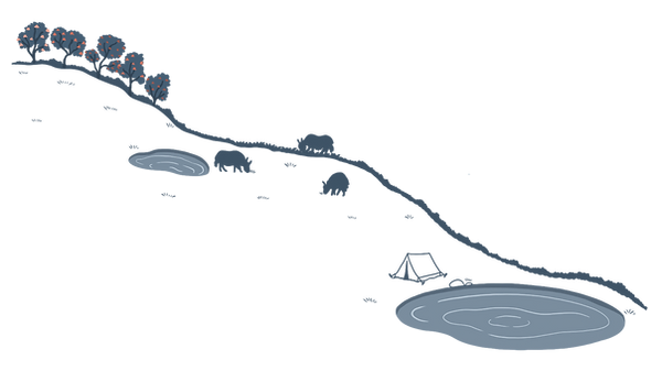
SEMKOTHA LAKE
3834m


Camp by Semkotha Lake at an altitude of around 3834 m.
TREK TIME & DISTANCE : 4 hours, 11 km
Trek Day 4:
Semkotha to Phajoding
MOUNT
GANGKHAR
PUENSUM
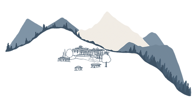

PHAJODING
GOMPA
3536m

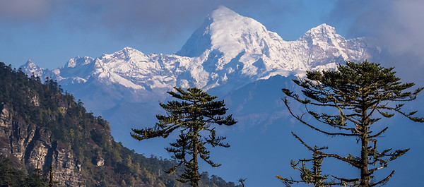
If weather permits there will be a beautiful view of Mount Gangkhar Puensum, Bhutan’s highest mountain, as well as of further peaks from the Doupchu La Pass. The path gradually descends to Phajoding Gompa (3536 m) where a monastery and retreat centres for meditation are located. From there you continue your final descent for a couple more hours through blue pine forest, emerging just above Thimphu town where you will be met by your driver and taken to your hotel.
TREK TIME & DISTANCE : 5-6 hours, 15 km










PRICING
You might also like ...
Every traveller is unique and your journey to Bhutan should be too. Whether you have a firm itinerary in mind or are looking for our local recommendations, our quick, fun and completely free trip planner is the perfect place to start. Tell us what inspires you and we’ll craft an adventure tailored just for you.
We would love to help you plan your dream trip to Bhutan.
If you have any questions or would like to discuss a trip please get in touch.